Hi,
I am using the latest version of CTSM with self define resolution at 0.05°.
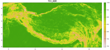
I have found a topographic correction coefficient for downward shortwave radiation (2.5 minutes) and want to apply it to soil temperature simulation. I multiplied this topographic correction coefficient to `forc_solad_col` in SurfaceRadiationMod.F90, extracting the corresponding correction coefficients for grid points based on the running grid and time step.
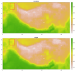
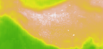
However, the soil temperature did not show the corresponding spatial topographic effects. So, my question is:
1. Is this because the operational grid unit of SurfaceRadiation.F90 is the resolution of the radiation data (0.5°)?
2. If I wanna add some topographic effects to the soil temperature which variable should I modify?


