Dear scientists,
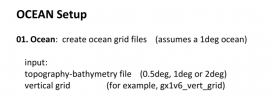
Now I am trying to create new land-sea configuration. But I don't exactly know how to do that, I'm following the 《PaleoToolkit Documentation for Deeptime CESM1.2》,But the fisrt step, create ocean grids files confused me. I don't know where to find topography-bathymetry file or vertical grid.
Can you tell me where I can get these files?Thank you

